3D Laser Scanning Services
Using the most advanced equipment in the industry, our specialist surveyors are experienced in capturing data at a rate of up to two million points per second. This ensures measurements are made quickly and easily with maximum efficiency. We currently utilise laser scanning technology for various different services, some of which are:
Detailed measured building surveys
- As-built surveys
- Monitoring
- Point clouds
What is 3D laser scanning?
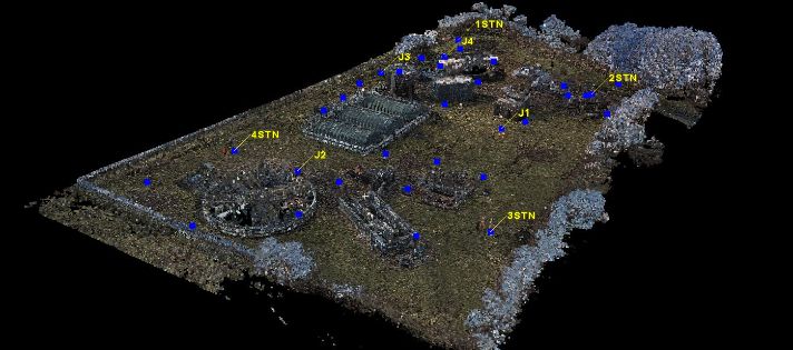
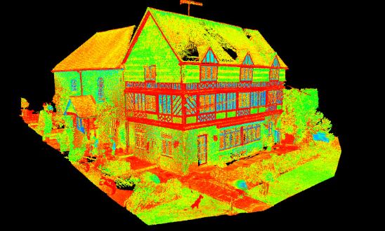
3D laser scanning is still considered a relatively new technology. It digitally captures the shape of physical objects using a line of laser light. The non-contact 3D laser scanners create ‘point clouds’ of data from the surface of an object. We use 3D laser scanning as a method to capture the exact size and shape of a physical object.
What are 3D models used for?
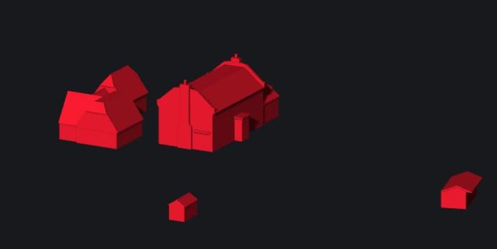
3D models help people understand how a proposed building will fit into a street scene or what the internal layout of a refurbished property will look like when complete. This can help overcome objections and allow changes to be made prior to planning or construction. Vertex Surveys has the ability to capture data in 3D, both traditionally and with laser scanners, to produce detailed 3D models of the built environment.
Using Revit to produce building information models
Once captured, these highly accurate point clouds can be worked up into data-rich BIM (building information models) using Autodesk Revit software. This enhances downstream use by project teams, facilities managers or operators. We’re happy to discuss your modelling and data needs to determine the optimum balance between accuracy, data, time and cost for your project.
Contact us
If you need advice, want to discuss which laser scanning service you need or are looking for a free quote, we are here to help.


